The marked trail from Baklivegen to Storfallet
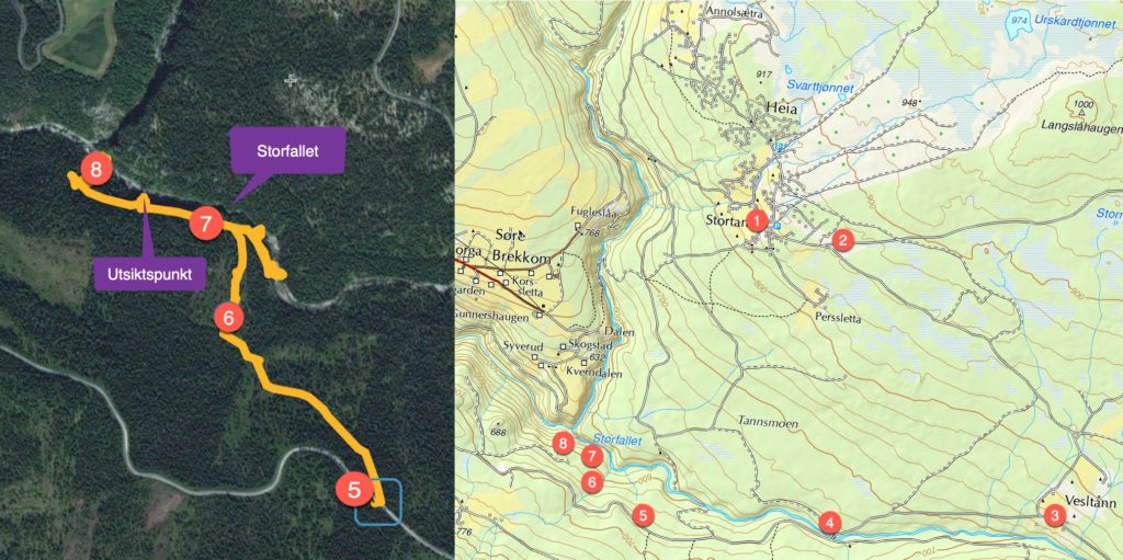
At the initiative of Arne Syverrud and Lars Haugen, the trail from Baklivegen to Storfallet has now been marked. It is very steep and the four-kilometer round trip takes place only in short sections on a path and tractor road. Parts of Erik Flye's old timber road have been overgrown, so all traffic takes place at your own risk.
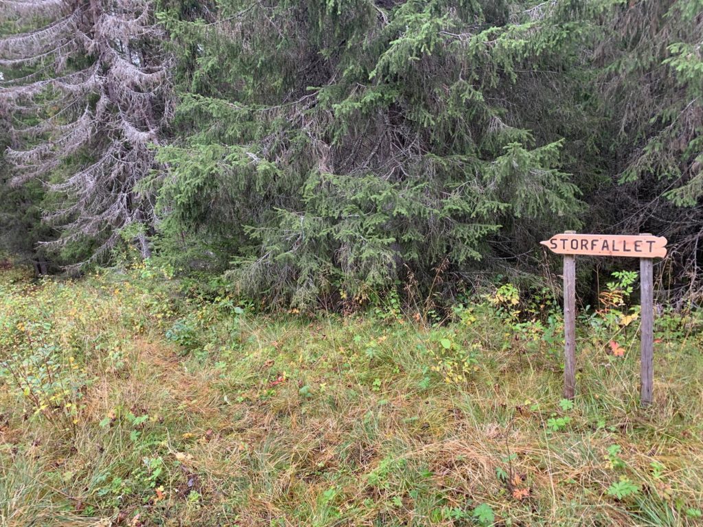
Follow Saubuvegen to the intersection towards Vesletann and drive Vesletannvegen to the intersection towards Baklivegen. Follow Baklivegen via the bridge over Tromsa until you see signs for Storfallet; here you can park.
Then follow the tractor road and the markings all the way until you come to a road that was built around 1900 to transport materials for the construction of the bridge over to Fåvang station (then Myhre station).
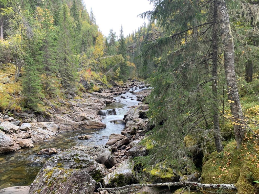
Then it is steep up the trail until you reach a marked viewpoint. You can continue to the sign down in Tromsa. Here it is very steep until you reach the side of the river. At low water levels, you can then follow the river up to the top of Storfallet. Solid mountain boots and dry weather are recommended.